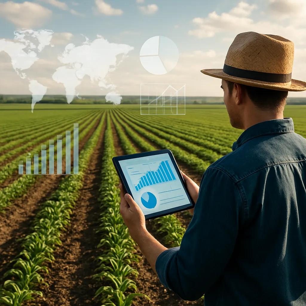
The adoption of drones in agriculture is reshaping the way growers across the globe approach their fields and orchards. Equipped with advanced sensors, high-resolution cameras, and sophisticated flight systems, these unmanned aerial vehicles deliver vital real-time insights into crop performance. By harnessing aerial imagery and automated data collection, farmers can elevate their practices to an unprecedented level of precision and responsiveness. This transformation not only enhances farm productivity but also promotes resource conservation and long-term sustainability.
Overview of Drone Technology in Modern Farming
Farmer-driven innovation has consistently defined the evolution of agricultural technology, and drones represent the latest frontier. Originally designed for military and commercial applications, these aerial platforms have been reengineered to withstand varying weather conditions and navigate complex farm topographies. From rotary-wing models capable of hovering above a wheat field to fixed-wing drones that cover vast expanses of arable land, each design addresses unique cultivation needs.
Key components that enable robust performance include:
- Multispectral and hyperspectral sensors that capture light beyond the visible spectrum to reveal hidden plant stress.
- GPS and inertial navigation systems to ensure flight stability and accurate georeferenced imagery.
- Onboard processing units that transform raw sensor readings into actionable reports within minutes of data acquisition.
When integrated with farm management platforms, these technologies support complex analysis pipelines. Data streams flow from the field to cloud-based dashboards, enabling agronomists to detect emerging issues, fine-tune irrigation schedules, and tailor fertilization programs—all without setting foot outside the farmhouse.
Benefits of Real-time Crop Monitoring
Maintaining optimal conditions throughout the growing season hinges on proactive intervention. Traditional scouting methods, while valuable, often suffer from time lags and limited coverage. By contrast, drone-enabled monitoring delivers a continuous and comprehensive view of plant health, moisture levels, and pest outbreaks. This level of scrutiny translates into multiple competitive advantages:
- Enhanced yield predictions based on ongoing vegetative indices rather than end-of-season estimates.
- Reduced input costs through targeted applications of fertilizers, pesticides, and water resources.
- Early detection of disease or nutrient deficiency before visual symptoms manifest in entire fields.
- Improved risk management by mapping erodible zones and identifying drainage issues promptly.
By leveraging aerial imagery captured every few days, growers can compare sequential maps, flag deviations in crop performance, and implement corrective measures at the earliest stage. This efficiency not only boosts short-term outputs but also fosters long-term soil health and environmental stewardship.
Implementing Drone Solutions on World Farms
Scaling drone operations from pilot trials to full-scale deployment involves multiple stages. Initially, farm managers must evaluate their specific requirements—field size, crop type, and desired reporting frequency guide the choice of hardware and software. Smallholders cultivating specialty fruits may opt for compact quadcopters that excel at low-altitude flights, whereas large grain producers often select fixed-wing platforms to maximize coverage.
Once the appropriate system is acquired, training and regulatory compliance become critical. Operators must:
- Obtain necessary certifications under local aviation authorities to ensure safe and legal flights.
- Develop standard operating procedures for pre-flight checks, emergency maneuvers, and maintenance routines.
- Integrate drone-collected imagery with existing farm management software, aligning geospatial data layers with field boundaries and yield monitors.
Successful integration culminates in seamless data exchange: soil sensors, weather stations, and drone surveys feed into a unified platform. This holistic view empowers agronomists to create spatial prescriptions, adjusting seeding density or nutrient mixes on a zone-by-zone basis. Ultimately, a dynamic digital infrastructure transforms raw aerial footage into strategic insights that optimize production cycles.
Challenges and Considerations
Despite the clear advantages, widespread adoption of agricultural drones faces several hurdles. Initial capital investment can be prohibitive for smaller operations, and the learning curve for complex flight planning software may deter non-technical users. Weather conditions, such as high winds or heavy rain, can ground flights for extended periods, impacting the consistency of crop health monitoring.
Data management presents its own set of challenges. High-resolution imagery generates massive file sizes that require robust storage solutions and high-bandwidth internet connections for cloud uploads. Moreover, interpreting spectral data demands specialized expertise; misinterpretation can lead to misguided interventions.
Security and privacy considerations also emerge as drones become ubiquitous. Farmers must navigate local regulations to avoid inadvertent incursions into neighboring properties, and they must safeguard sensitive yield data against unauthorized access. Addressing these concerns often requires collaboration with policymakers, technology vendors, and regional extension services to establish clear operational guidelines.
Future Prospects for Aerial Farm Management
The trajectory of drone applications in agriculture points toward ever-greater autonomy and integration. Emerging trends include swarms of cooperating drones that divide tasks such as seeding, pesticide spraying, and targeted pollinator deployment. Advances in machine learning algorithms will soon enable real-time identification of specific weed species, automating spot-spraying operations with herbicide only where needed.
Beyond individual farms, regional networks of drones may collaborate to map ecosystem health at the landscape scale. These collective efforts could improve water resource allocation, monitor wildlife corridors, and track the impacts of climate change on agricultural zones. By connecting local data nodes through shared databases, stakeholders from farmers to researchers can derive more robust insights into global food security challenges.
Ultimately, the fusion of aerial robotics, advanced sensors, and predictive analytics promises to usher in a new era of sustainability and resiliency for the agricultural sector. As the technology matures, farmers around the world will continue to unlock novel approaches to maximize productivity, minimize environmental footprints, and secure the planet’s food supply for generations to come.